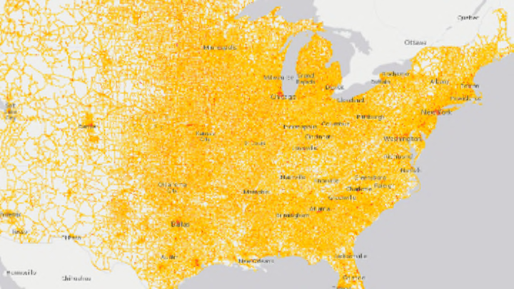
Houston has a problem. So does Chicago, New York, and big chunks of New Jersey. The U.S. Bureau of Transportation Statistics recently released an interactive National Transportation Noise Map that highlights locations where you’re more likely to suffer from decibel distress, and those areas are highlighted for all of the wrong reasons.
The most common culprits in high-noise hot spots? Airports and interstates. While much of the country is subjected to a tolerable 50 decibels or less—the equivalent of a humming refrigerator—bigger cities like New York and Chicago can see up to 80 decibels, which is more akin to a rumbling garbage disposal or standing 50 feet from a passing freight train. For a comparatively quieter existence, rural locations like Twin Falls, Idaho, are mostly free of the angry red and purple blotches the map uses to indicate areas of high noise pollution.
Bureau of Transportation Statistics
The data tracks with some expected outcomes: In interstate-heavy regions like Memphis, the map flares up; Houston’s many airports (above) also account for greater noise levels.
In addition to being an annoyance, noise pollution has the potential to have adverse effects on your health, with studies linking long-term exposure to an increased risk of high blood pressure and other issues. Some perpetrators, like New Jersey's Teterboro and Newark International Airports, have recently proposed changes to help mitigate noise levels, including diverting flight paths away from hospitals and scheduling most of their traffic during daytime hours.
[h/t NPR]
