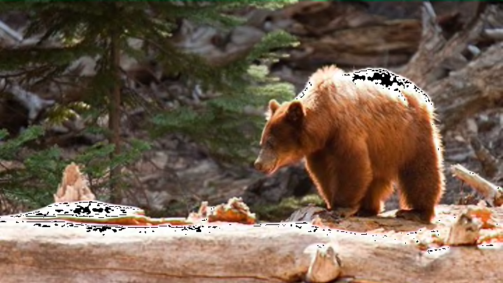
Bears are fascinating, but also ferocious. To watch them from a safe distance, the AP reports that park rangers at Yosemite National Park in California have attached GPS collars to select bears, and launched a website with a designated Bear Tracker to keep tabs on their movements.
The website is called Keep Bears Wild. Its Bear Tracker consists of an interactive map, which shows the bears’ locations. Visitors can select a bear and zoom in for an up-close look, or see how many miles it's traveled in one day, or in the past month. (To prevent wildlife lovers from trying to use the map to score a real-life bear sighting, the Bear Tracker's data is delayed, and fall and winter hibernation spots are hidden from the public.)
The GPS tracking collars also provide rangers with information that's both scientific and practical. For one, they know the bears’ exact, real-time locations, allowing them to keep the animals away from campgrounds and parking lots. The collars also show when the bears start mating, and how far—and high—they lumber or climb.
Obviously bears can be dangerous around humans, but humans can also be harmful to bears. Last year, for example, 28 of Yosemite’s bears were either killed or injured by visitors’ cars, according to Bear Tracker data. Park officials hope that Keep Bears Wild— which also features educational information about bears and dispatches from park rangers—will help keep everyone safe by teaching park visitors to drive slowly, store food properly, and observe the bears from a safe distance.
[h/t Associated Press]
