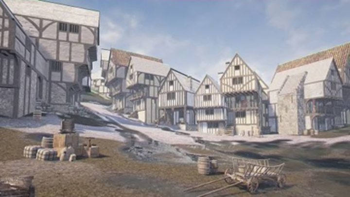
Computer scientists and historians in Scotland are recreating a lost version of Edinburgh. Smart History, a virtual reality app, shows how the city looked just before the English army invaded and burned much of it to the ground in May 1544. As iNews reports, Smart History’s “time-travel binoculars” let you explore major city landmarks, like the center point of the historical city, the Royal Mile.
According to Bess Rhodes, one of the historians who worked on the digital reconstruction, this is the first digital representation of the Edinburgh of this time period. It was created with the help of a medieval drawing by the English military engineer Richard Lee, who was with the English army when its forces attacked Edinburgh, laying waste to much of the city (but failing to capture Edinburgh Castle). This 16th-century map is the earliest accurate map of the Scottish capital available. Researchers supplemented Lee’s information with archaeological data, documents from the time, and insights from architectural and art historians.
Smart History, developed by researchers at University of St Andrews, has created several other historic tour apps, including a virtual recreation of medieval St Andrews and one of the Eyemouth Museum, a local history museum in Scotland. The new Edinburgh app (which will also be available on the web and in 3D) isn’t due out until May 1, but you can check out the trailer below.
Virtual Time Binoculars - Edinburgh 1544 from Smart History on Vimeo.
[h/t iNews]
