When most people talk about international borders, they’re being somewhat metaphorical. Rare is the person who’s actually traveled the full border between two countries and has a real idea of how they are separated by geography and political history. You may have crossed through one border checkpoint, but you may not have climbed the middle-of-nowhere mountain that forms the border a few hundred miles away.
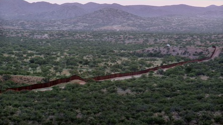
In light of the political discussion around border walls, The Intercept and Field of Vision created a timelapse of some 200,000 images showing each of the 1954 miles of the U.S.-Mexico border, stretching from the Pacific Ocean to the Gulf of Mexico. All the images were downloaded from Google Maps according to the geographic coordinates of the international boundary line. Some of the images show urban stretches, with only roads and fences to separate one city from the other across the border; other parts are simply a stretch of flat desert; and still other parts of the border contain very real geographical obstacles like mountains and rivers.
“The southern border is a space that has been almost entirely reduced to metaphor. It is not even a geography. Part of my intention with this film is to insist on that geography,” writes data artist Josh Begley on The Intercept. He wrote the code that downloaded and stitched together all 200,000 images. “By focusing on the physical landscape, I hope viewers might gain a sense of the enormity of it all, and perhaps imagine what it would mean to be a political subject of that terrain.”
The whole thing is almost seven minutes long and pretty dizzying, both in the metaphorical and physiological sense. You can watch it here.
[h/t The Intercept]
Know of something you think we should cover? Email us at tips@mentalfloss.com.
