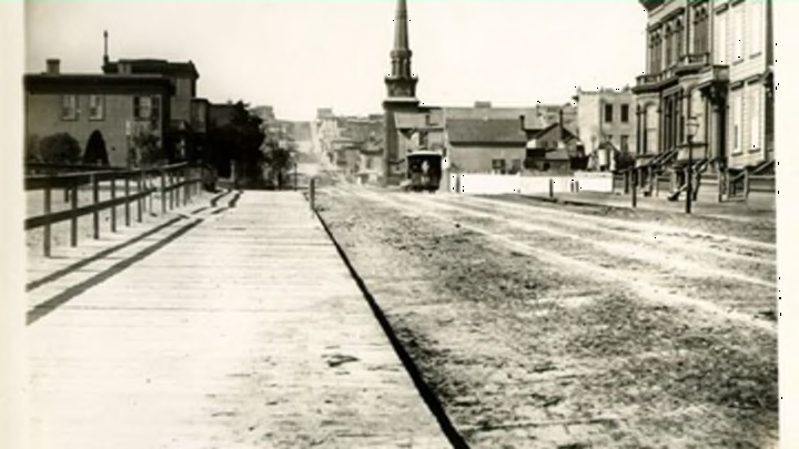
San Francisco’s status as the nexus of the modern tech boom has meant rapid change for the city—a reinvention that some people worry is altering its very soul. Just how much has the city by the bay changed over the past two decades—or the past century, or more? If you’re familiar with the San Francisco of today, all you have to do is look at OldSF, an interactive map of historic photographs from the city library’s San Francisco Historical Photograph Collection.
Created by user experience designer Raven Keller and software developer Dan Vanderkam—who, according to Twitter, are based in Brooklyn—the map lets you specify a range of dates or explore all the photos taken between 1850 and 2000, Business Insider reports. Vanderkam and Keller also developed OldNYC, a Big Apple version of the same idea, but Vanderkam was initially inspired by his search for historic photos of the cross-streets he was living on in San Francisco in 2008.
To create the San Francisco map, the developers geocoded 13,000 images (in many cases researching their location manually) to present the library’s collection geographically. There aren’t images of what the city currently looks like (you’ll have to toggle over to Google Street View for that), but when you click on any of the black dots, it pulls up all the cataloged photos of that location. If there are multiple photos in the archive (represented by bigger dots), you can see how representations of the area have changed over the decades.
[h/t Business Insider]
Know of something you think we should cover? Email us at tips@mentalfloss.com.
