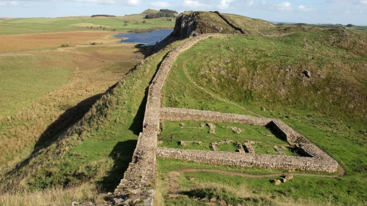
For the last few decades, Historic England and its affiliates have been studying aerial photographs—and, in recent years, imagery from lidar, Google Earth, and other digital sources, too—in order to catalog historical sites across England. Now, they’ve compiled all that data into a single dazzling interactive map, free for anyone to explore online.
As Smithsonian reports, this Aerial Archaeological Mapping Explorer contains thousands of sites and covers an impressively broad swath of history, from about 6000 years ago right up through the Cold War. If little-known prehistoric hill forts are your thing, you’re in luck. There are some of those, as well as Iron Age farms, Bronze Age burial mounds, Industrial Age coal-mining sites, and much more.
You’ll also find a number of especially famous landmarks: Stonehenge, for example, and Hadrian’s Wall, a 73-mile stone barrier that marked (and protected) the Roman Empire’s northwestern border across northern England.
You can zoom in and out and choose sites, outlined in red, at random, or you can locate a specific spot or address using the search bar. Once you’ve clicked on one, a box will appear with a brief explanation and links to more information about it.
“This new aerial archaeology mapping tool lets people fly virtually over England and drink in its many layers of history. It will allow everyone to explore the hidden heritage of their local places and what makes them special,” Historic England chief executive Duncan Wilson said in a statement. “We hope it will give people a springboard to further investigation, whether for research purposes or simply to satisfy curiosity about what archaeological features they may have noticed around their local area.”
You can explore the map for yourself here.
[h/t Smithsonian]
