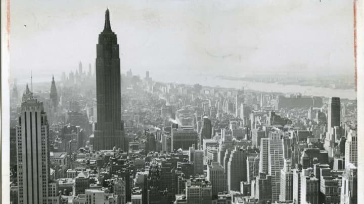
Since New York City, like most cities, is in a constant state of renovation, it’s no surprise that the street views from 80 years ago looked quite different than they do today. With this interactive map, you can see just how much things have changed.
In 1938, the Work Projects Administration helped fund and organize a massive endeavor by New York City’s Department of Finance—then called the New York City Tax Department—to photograph all the taxable real estate across the Bronx, Brooklyn, Manhattan, Queens, and Staten Island [PDF]. More than 30 photographers worked in pairs to take the pictures, and 900 bookkeepers, auditors, and other administrative employees filled out “property cards” for each one with additional information about the building. The project stalled during World War II, so most of the cataloged images were captured in the late 1930s and early 1940s.
After the New York City Municipal Archives digitized the records in 2018, software engineer Julian Boilen used them to create what PetaPixel describes as a 20th-century version of Google Street View. Boilen's map is extremely comprehensive, with thousands of black dots that each correspond to a photo. You can zoom in and out, clicking at random, or you can use the search bar to find a specific address.

Plenty of areas are completely unrecognizable—the shiny new shopping centers at Hudson Yards and Battery Park, for example, are nonexistent—and many storefronts bear the unfamiliar names of small businesses instead of Starbucks and CVS. But some things remain unchanged. You can still spot Macy’s on 34th Street; and there’s a smattering of larger-than-life advertisements around Times Square, including billboards for Coca-Cola, Planters Peanuts, and Walt Disney’s 1940 film Pinocchio.
See it all for yourself here.
[h/t PetaPixel]
