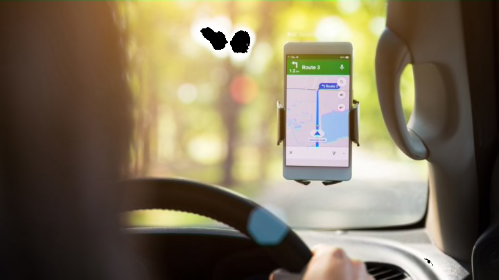
When Google Maps came around, those who were awful with directions viewed it as a godsend. Instead of unfolding gigantic maps across their dashboards and squinting at them while driving, this technological innovation allowed for them to get from Point A to Point B in an easy, hands-free manner ... unless you happened to be headed to the Denver International Airport earlier this week.
CNN reports that on Sunday, June 23, Google Maps led approximately 100 drivers astray when it suggested an alternate route out of a heavy traffic jam. The detour ended up being down a muddy road where cars either slid all over the place or became stuck. Those behind the mess were then gridlocked, as the fields and trenches on either side of the one-lane road made it difficult for drivers to turn around.
A shortcut to the Denver International Airport turned into a "muddy mess" on Sunday for dozens of drivers who were following directions from Google Maps. https://t.co/Nrg6OlKvml
— ABC News (@ABC) June 26, 2019
The road was not labeled as “private” by the app, leading the drivers to believe it was simply a faster way of getting to their destination. What was supposed to be a 23-minute shortcut soon became a three-and-a-half hour ordeal for some.
"We take many factors into account when determining driving routes, including the size of the road and directness of the route,” a Google spokesperson explained. “While we always work to provide the best directions, issues can arise due to unforeseen circumstances such as weather. We encourage all drivers to follow local laws, stay attentive, and use their best judgment while driving."
But some good did emerge from the situation: A few drivers picked up their less fortunate road warriors and gave them lifts to wherever they needed to go. Connie Monsees—one such good Samaritan, who was headed to the airport to pick up her husband—told The Denver Post she offered a ride to two strangers going the same way. "We made it out and they both made their flights," she said. “It was just incredible though."
[h/t CNN]
