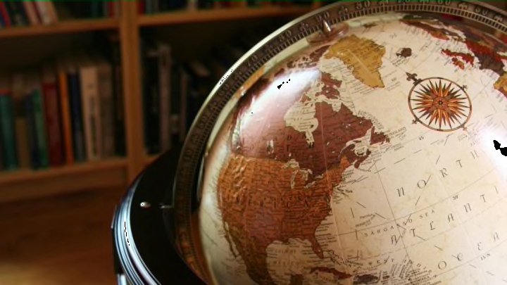
Geophysicists recently updated the World Magnetic Model—navigational data used for everything from cell phones to satellites—and found that magnetic north, a spot once located in Arctic Canada, is moving quickly toward Siberia. But even this discovery doesn't quite explain why maps always feature north at the top.
There’s nothing inherently upward about north. Some early Egyptian maps put south on top, while in medieval Europe, Christian cartographers tended to give that distinction to east, since you had to turn that way to face Jerusalem. Others placed east on top because of the rising Sun (that’s why we orient ourselves). And early American settlers sometimes used maps with west on top, because that was the direction they were often heading.
If anyone deserves the blame for today’s northward bias, it’s Claudius Ptolemy. In the 2nd century, he wrote the influential Geographia, which featured a “global” map with north on top. No one’s positive why he positioned it that way, but it may be that the Library of Alexandria—where he did his research—simply didn’t have much information on the Southern Hemisphere. During the Renaissance, Ptolemy’s work was revived. By then, the phenomenon of magnetic north had been discovered, making his layout even more appealing to mapmakers.
The magnetic north pole, however, was not located until 1831. On an otherwise disastrous expedition to Arctic, British explorer James Clark Ross discovered the pole—the spot where a compass needle on a horizontal axis points straight down—on the west coast of Canada's Boothia peninsula. "I must leave it to others to imagine the elation of mind with which we found ourselves now at length arrived at this great object of our ambition," Ross recalled. "Nothing now remained for us but to return home and be happy for the rest of our days."
This story was originally published in 2014.
