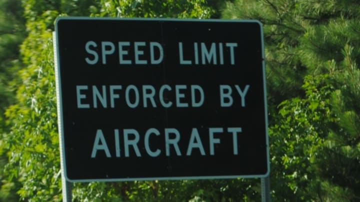
When traveling, you might notice some signs on the highway that read “speed limit enforced by aircraft.” Those signs may conjure images of the cops scrambling a team of jet fighters to take a driver with a lead foot off the road. In reality, it’s a little less exciting.
Take Pennsylvania, for example. Certain lengths of highway that are known to be trouble spots for speeding are targeted by the State Police Aerial Reconnaissance Enforcement (SPARE); other states will have their own names for similar programs. Those targeted stretches of road are marked with start and finish lines at a set distance from each other. Two officers—a pilot and a spotter—cruise over these stretches in a small fixed-wing aircraft (other states may use helicopters as well).
When a vehicle crosses the start line, the spotter uses a specially designed stopwatch (some police departments also use VASCAR systems) to clock the car’s speed through the enforcement zone. If they determine that a vehicle is speeding, the officers in the plane radio another officer on the ground, who pulls the vehicle over and issues a ticket.
Scanning for speeders from the above isn’t as common as it once was, thanks to improved technology like radar and Lidar. Budget cuts have also taken a toll on the practice. “We don't necessarily set up as many specific speed enforcement details as we did 10 or 15 years ago, predominantly because of the advent of Lidar,” Jim Andrews, a California Highway Patrol pilot, told KQED. “But there are still circumstances where we are definitely valuable, where traditional ground enforcement may not work.”
Several states have severely reduced or essentially abandoned their operations. But that doesn’t mean you should ignore those “speed limit enforced by aircraft” signs when you drive past them. Depending on which state you’re passing through, there’s still a chance someone may be clocking your speed from the sky.
A version of this story originally ran in 2013; it has been updated for 2023.
