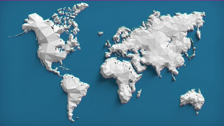
Cartography nerds know that world maps can contain some embarrassing inaccuracies, like a distorted Antarctica and a Greenland that’s the size of Africa. Some maps go so far as to leave whole countries off their charts. When that’s the case, New Zealand is a popular casualty.
Maps minus New Zealand are such a common thing that there’s an entire subreddit dedicated to spotting them in the wild. On r/MapsWithoutNZ, posters share maps featured in video games, board games, textbooks, iconic landmarks, and airports, each one missing the South Pacific island nation.
@CBSThisMorning what #NewZealand had no tweets being such a huge #soccer nation? Why are we missing off all your maps pic.twitter.com/Rxw8R6oc4W
— Outside Images (@Outsideimages) July 9, 2014
https://t.co/nx3oTRfpc8 Map in a Shanghai coffee shop missing all of New Zealand.#newzealand #map #coffee #interiordesign pic.twitter.com/BBo3EKYR2U
— Int'l Traveler (@intltravelr) September 29, 2017
Very disappointed in @Starbucks who have a map of the world and New Zealand is missing...they have stores there so bad oversight!! ??? pic.twitter.com/L6kKjPfQ8H
— Nicki (@Nickikiwi) May 24, 2017
@ennyyana @evil_donut69 The map is missing New Zealand - so I've added it!!! pic.twitter.com/9LZ0PNjeAh
— NZ-Jarmy (@gemininz) February 1, 2015
New Zealand is one of the easternmost countries on Earth, making it regrettably easy to edit off world maps. Apparently not even the New Zealand government is immune to the error: The 404 page for the government's website shows a map of the world ... without the country it represents.
Even though the subreddit (currently 30,000 subscribers strong) has brought the issue to light, maps sans New Zealand continue to pop up frequently. But the troubling trend does have at least one benefit: It makes it easy to spot the map designers who like to cut corners.
[h/t Condé Nast Traveler]
