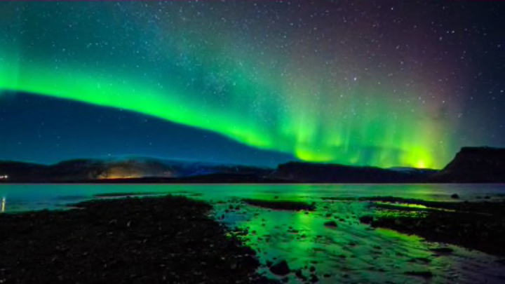
Help Map the World’s Auroras With the Aurorasaurus

The spectacular visual phenomenon that is an aurora is hard to predict. Known as aurora borealis in the northern latitudes and aurora australis in the southern, auroras are the light-filled result of an interaction between charged particles from the Sun and the Earth’s magnetic field. But finding them takes some luck.
Now, scientists are trying to create a real-time map of all the aurora sightings in the world to help track them across the globe. Researchers associated with NASA’s Goddard Space Flight Institute set up the Aurorasaurus, a website and app that maps where auroras have been sighted across the world using geotagged tweets. The solar storms that cause auroras can interfere with communication networks and power grids, so scientists have good reason to track and study where they’re happening. (It doesn't hurt that they're awe-inspiringly beautiful, either.)
Here's how they tracked a major geomagnetic storm in March. A lot of the tweets culled by Aurorasaurus mentioned an aurora but weren't referring to the night sky. Instead they referenced Seattle’s Aurora Bridge, the town in Colorado, or a person named Aurora. So the project used crowdsourcing to separate legitimate recent sightings from random references. Users can approve tweets or mark them as unrelated. See the video below.
Aurorasaurus participants catalogued more than 160 aurora sightings during that storm. The data will be used to improve scientific modeling and prediction of the lights. That means you'll have a better chance of catching the amazing sight yourself.
[h/t: Wired]