By Ruth Beach
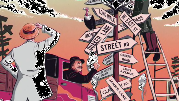
Before 1917, the only thing tougher than drawing a road map was reading one. Most roads weren’t marked with signs, and they rarely had names. Bulky printed guides gave complicated directions like a weathered gas-station attendant: “Turn left, passing hotel barn (on right); cross iron bridge around mill race. Follow winding, sandy road with poles thru woods, avoiding left-hand road.” In 1916, Rand McNally announced that it would award $100 to any employee who could improve the system.
That’s when John Brink, a freelance map illustrator, had a brilliant idea: Why not give each road a number? Rand McNally jumped at the idea. On top of handing him the cash prize, the company charged him with the enviable task of numbering all the country’s roads. But that, of course, begat another project. Proving that no good deed goes unpunished, Brink was then asked to oversee the vast effort to tack signs on utility poles across the U.S. so that motorists could tell they were on the right road. When other map companies caught wind of the project, they too started pinning up their own personalized symbols. By 1925, some poles were plastered with nearly 20 signs! But Brink couldn’t retire just yet. All those competing signs convinced the newly formed National Highway System that the U.S. needed a uniform marking system. So legislators called on Brink, once again, to create the numbering scheme we follow today.
This story originally appeared in mental_floss magazine. Subscribe to our print edition here, and our iPad edition here.
