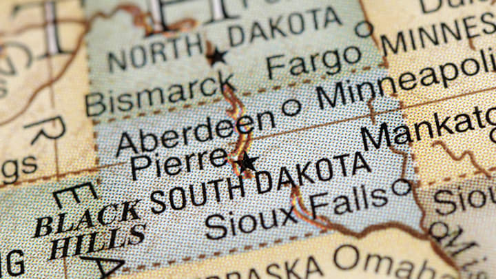
If the colony of Carolina and the Dakota Territory hadn’t decided to split themselves up a few hundred years ago, we’d have only 48 states right now. But why did these particular places become geographic variants of each other? Here are the answers.
Why Is there a North and South Carolina?

Though French officials had attempted to establish forts along the coast, permanent European settlement of the Carolinas began with Juan Ponce de León claiming most of the present-day southeastern U.S. for Spain in 1513 and calling it La Florida. Indigenous peoples resisted the Spanish incursion for decades and Spain eventually abandoned its efforts to settle the region. In 1585, Sir Walter Raleigh convinced a group of English settlers to establish a colony on Roanoke Island, but by 1590, their fort had been abandoned and the people had mysteriously disappeared.
Then, England’s Attorney General Sir Robert Heath managed the Carolina territory for King Charles I of England. Heath made no attempts at colonizing the area and, following the king’s execution in 1649, Heath fled to France. Heath’s heirs would eventually try to reassert their claim to the territory, but King Charles II ruled the claim invalid and gave ownership to a group of eight noblemen known as the Lords Proprietors. The Lords—helmed primarily by Anthony Ashley Cooper, 3rd Earl of Shaftesbury, who was influenced and assisted by the philosopher John Locke—retained control of the area from 1663 to 1729, with members of the eight-man group being replaced as necessary with other lords.

The Lords Proprietors set up a framework for governance and settlement of Carolina and dispatched an expedition of colonists. Mostly, though, they fought constantly and were unable to make decisions that made sense for the economic development of the enormous territory. None of the original eight lords ever set foot in North America. They hired and fired a laundry list of governors, noted in their papers: “John Jenkins was deposed,” “Thomas Miller was overthrown and jailed by ... ‘armed rebels,’ ” “Thomas Eastchurch was forbidden to enter the colony,” and “Seth Sothel was accused ... of numerous crimes for which he was tried, convicted, and banished.” On top of all that, wars broke out with the Tuscarora and Yamasee tribes.
The lords, realizing that this strategy wasn't working, appointed a governor to oversee the entire territory and a deputy governor to handle the northern half in 1710. Two years later Carolina was permanently divided into north and south territories. The English Crown eventually took back South Carolina from the Lords Proprietors and made it a royal colony; the Crown also convinced the reluctant Lords to sell back their shares of North Carolina, and it was made a royal colony in 1729. Both retained this status until they ratified the U.S. Constitution in 1788 (South Carolina) and 1789 (North Carolina).
The Origins of North and South Dakota

Most of the land that would become North and South Dakota was acquired by the United States in the Louisiana Purchase in 1803. After Minnesota was admitted to the Union in 1858 and the federal government and Sioux officials signed the Yankton Treaty the same year, the remaining land and ceded territory was organized into the Dakota Territory. But it wasn’t until the 1874 discovery of gold in the Black Hills, the sacred land of the Sioux, did prospectors and the military really begin invading the area. (Ironically, Dakota means “friend” or “ally” in the Dakota language.)
Railroads followed the gold rush; settlers poured into the upper Great Plains. Until 1883, Yankton in the far southeastern corner served as the capital of the whole territory, but northern settlers refused to recognize the remote town as the center of governance. They declared their own capital, Bismarck, in 1872. This caused enough tension to require a split down the 46th parallel into two territories—but there were other factors in play.
President Grover Cleveland, a Democrat, and the Democratic majority in the U.S. House of Representatives resisted giving the Dakotas statehood, since the overwhelmingly Republican states would likely elect Republicans to Congress. The situation changed when Republican Benjamin Harrison was elected president and Republicans gained majorities in both houses of Congress, paving the way for a statehood bill to pass. On November 2, 1889, North and South Dakota were admitted to the union, becoming the 39th and 40th states, respectively.
Discover More Geography:
A version of this story was published in 2014; it has been updated for 2025.
