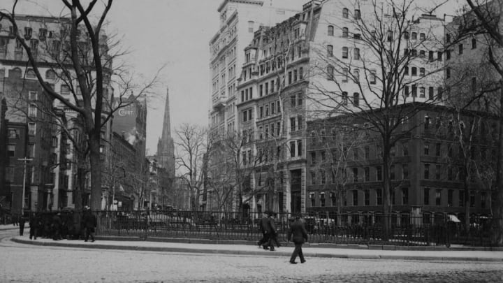
The New York Public Library Needs Help Identifying Old Photos of New York City

While some of New York’s most famous landmarks like the Statue of Liberty and the Brooklyn Bridge have been standing for over a century, many remnants from the city’s early days have vanished. Torn-down subway lines and paved-over parks exist only in photographs, and even those images can be hard to identify without the proper context. In a quest to build a clearer picture of lost New York, the New York Public Library is calling on the public to geotag old photographs from its archives.
Surveyor, their new online tool, features 2500 photos and illustrations spanning decades of New York City history, according to Hyperallergic. Many of the images depict streets and buildings that have changed drastically or no longer exist, with only vague descriptions of their locations. By crowdsourcing the project, the NYPL can attract history buffs and longtime residents who may be able to recognize where the scenes fit on city maps.
Amateur archivists who visit the website are given a random picture along with any details attached to it. An interactive map of the city in the right half of the screen allows users pinpoint the location they think best fits the image. Just a week after its launch this summer, Surveyor had already gathered 500 location submissions. After the geotags are reviewed, the NYPL plans to make the information available to the public.
Looking to take a visual tour of old New York City without testing your geography skills? Check out the NYPL’s OldNYC map, the digital collection that partly inspired their latest project.
[h/t Hyperallergic]